By Lucy Mackintosh*
Analysis - The sudden appearance of Ihumātao in national headlines over the past few weeks has taken many by surprise. Until recently, Ihumātao was a place that seemed off the beaten track.
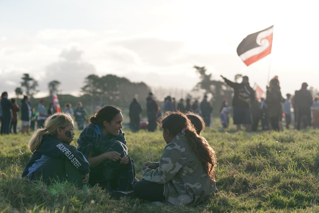
Local resident Pania Newton speaks to tamariki at Ihumātao. Photo: Loading Docs
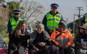
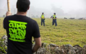
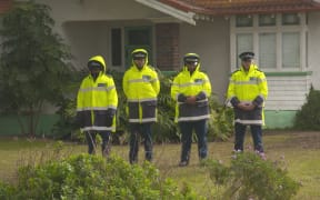
Located in a rural area in Māngere, and bounded on three sides by the Manukau Harbour, the Ihumātao Peninsula was a place few had heard about until recently. Over the past three weeks, more than 100 people have occupied land at Ihumātao to oppose a new housing development by Fletcher Building.
Ihumātao is a place that everyone should know about.
In a city that has destroyed or forgotten most of its past, fragments of Auckland's deep histories still survive at Ihumātao.

Lucy Mackintosh is the history curator at Auckland War Memorial Museum. Photo: Supplied
Here, some of the oldest stories about New Zealand's biggest city have been built into the landscape and have evolved over time in ways that are difficult to understand, but worth the effort. These histories tell a long and little-known story of Tāmaki Makaurau, one that is important to tell if we are to understand and reckon with this city's past.
Mana whenua at Ihumātao have ancestral links to this area that stretch back to the first people to arrive in Tāmaki Makaurau.
Early ancestors include Mataaho, after whom Ihumātao, or Te Ihu o Mataaho (the nose of Mataaho) is named. Another is Hape, the crew member on the Tainui waka whose presence is recorded in the name of one of the small volcanic cones on the Ihumātao Peninsula, called Puketapapatanga a Hape ('the hilltop resting place of Hape'), as well as in the well-known Auckland street, Karangahape Road ('the place of the calling of Hape').
Archaeologists have also documented the long history of Māori settlement in the area.
Their investigations have found that Māori were present on the Māngere-Puhinui coastline by around 1450 and had begun gardening on the lava fields at Ihumātao by the end of the 1500s.
The volcanic soils on Tāmaki Makaurau's lava fields are fertile, well-drained and warm. These soils were well suited to the crops brought over from tropical Polynesia.
Māori modified their gardening techniques to allow the tropical plants to thrive, gathering up the loose volcanic rock to clear the ground for cultivations, and building walls around rocky outcrops or ridges.
Guided by the existing ridges and gullies on the landscape, they built boundary walls, terraces, windbreaks and drainage systems for their gardens, as well as houses and cooking areas. As their descendants developed techniques and processes in the local environment, the garden systems continued to evolve.
These gardening systems once covered much of Auckland's 8000 hectares of lava fields, but almost all of these landscapes have now been destroyed by urban development.
Today, only 200 hectares survive, 100 of which are located on the Ōtuataua Stonefields Historic Reserve at Ihumātao. This makes Ihumātao one of the few places in Auckland where the long narratives of human history are still visible in the landscape.
Tribal connections with the place were formed under as well as above ground at Ihumātao. The dead were buried in the lava caves and tubes, returned to Papatūānuku so that the past, present and future could continue to grow and bind together.
Every now and then, these burials come to the surface and remind people of the long, intimate, hidden histories that co-exist with newer senses of place in layers across the landscape.
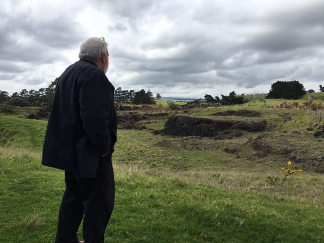
Photo: RNZ
In 2008, archaeologists uncovered and removed 88 kōiwi (human remains) during the Auckland Airport northern runway development project on the Ihumātao Peninsula.
By the 17th century, the descendants of the early ancestors at Ihumātao had become known as Te Waiōhua, a loose confederation of tribes descended from Tainui.
The invasion of Te Taoū (the tribal grouping that became collectively known as Ngāti Whātua) and others from the Kaipara area in the late 18th century caused a major disruption in Tāmaki Makaurau, but Te Waiōhua hapū subsequently returned to their ancestral lands at Ihumātao and neighbouring Pūkaki. They intermarried with Te Taoū, maintained ahi kā (the fires of occupation) in their territories and remembered their histories.
When Governor William Hobson established the government settlement of Auckland in 1840, at the invitation of Ngāti Whātua, much of the surrounding Māori land was alienated soon afterwards.
At Ihumātao, however, mana whenua (hapū or iwi members with customary land rights in a defined area) continued to occupy and cultivate their ancestral lands.
In a city where historical attention has focused heavily on British experiences after 1840, Ihumātao offers very different insights into early colonial Auckland.
In 1846, mana whenua invited the Wesleyan Methodist Church to establish a mission station at the end of the Ihumātao Peninsula.
For over 20 years after the establishment of Auckland, Māori at Ihumātao and neighbouring Pūkaki continued to live on their ancestral lands and practice ahi kā, while also working closely with missionaries, settlers and the governor.
They helped run the mission station and school, built some of the first houses for new settlers in the area (including for Lieutenant Colonel Marmaduke Nixon, who later fought for the Crown in the Waikato War and who is now commemorated in a monument in Ōtāhuhu), and assisted with the establishment and maintenance of settler crops.
On the lava fields beside the mission station, Māori continued to cultivate their gardens, providing food for the mission station and their European neighbours as well as for the nearby township of Auckland.
In early colonial Auckland, Ihumātao was a mixed place, one forged by both existing tribal dynamics and the structures of the British empire.
As settler numbers continued to grow, the Tainui tribes in the Waikato decided to select a Māori king, to protect Māori autonomy and resist further land loss.
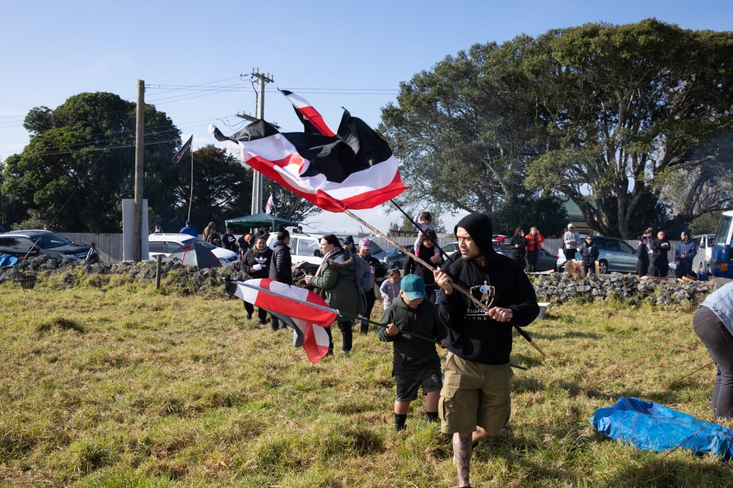
Photo: RNZ / Dan Cook
In 1857, rangatira held a number of hui, including one at Ihumātao, where they asked the powerful Waikato chief Potatau Te Wherowhero to become the Māori King. Te Wherowhero was formally appointed to this position the following year.
The mission station was still operational at Ihumātao when a government agent arrived on 10 July 1863 and delivered a proclamation from Governor George Grey, demanding that all Māori take an oath of allegiance to Queen Victoria and give up their arms, or leave for the Waikato. If they refused to comply, they would be evicted.
Local Māori were forced to decide between swearing allegiance to the Queen or leaving the lands their people had lived on and gardened for hundreds of years. Most decided to leave and support their relatives in the Waikato, believing that relationships between Māori and the Crown had already deteriorated to the extent that even if they chose to take the oath and stay, they would be branded as enemies.
The eviction of Māori from their villages in the Māngere area was a hugely distressing and polarising moment that was felt deeply in the local community and beyond.
Governor Grey claimed that the evictions had been necessary, as "t was impossible to leave a strong disaffected population, well-armed … in the rear of the General and of the Troops".
Others, though, saw the situation differently.
The Aborigines' Protection Society described the evictions as the "cruel and unprovoked deportation of the natives who inhabited the Māori villages in the neighbourhood of Auckland".
One local resident wrote in the local press: "The Ihumata (sic) natives, notwithstanding their alleged disloyalty, were good neighbours and very much respected by the settlers around; nearly all their houses and fences have been destroyed, their church gutted, the bell, sashes, door, and communion-table stolen, and the floor even torn up and taken away; and now, their land is to be occupied by Mr Russell's [politician Thomas Russell's] brother-in-law! The history of this war will be a dark page in the history of New Zealand."
This moment, which arguably marked the beginning of the Waikato War, brings the New Zealand Wars into the city in a way that has not been adequately acknowledged in our histories.
When the war ended in 1864, the government confiscated most of the Māori land on the Ihumātao Peninsula.
Mana whenua returned to live on a small reserve, where their descendants continue to live today at Ihumātao village.
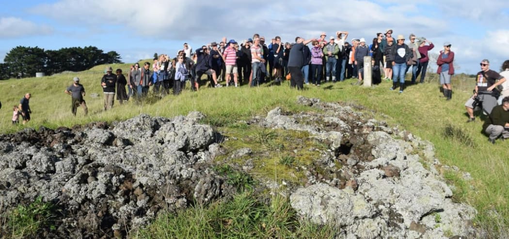
Photo: SOUL Facebook page
The Waitangi Tribunal's Manukau Report in 1985 concluded that the Waikato tribes had never been in rebellion and had been attacked by British troops, in direct violation of the Treaty of Waitangi of 1840. The report found that the subsequent confiscations had left an enduring mark on the Māori people of Manukau: "For them", the report stated, "it is as if the confiscations and dealings occurred yesterday."
Following the confiscation of the land at Ihumātao, it was subdivided and sold to British immigrants, who began to dismantle and rearrange the rock walls, crafted by Māori for hundreds of years, to fit with their ideas of order, space and belonging.
Using the dry stone walling method they brought with them to New Zealand, they fitted the stones together like a jigsaw puzzle, shaping them into rectangular forms across the landscape and establishing some of the first dairy farms in Auckland.
Ihumātao was ultimately not hospitable to European methods of farming.
The rocky terrain could not be ploughed mechanically and the freshwater springs that came from the rivers running underneath the layers of rock eventually dried up. For these settlers, the key to economic survival on the land was the removal of the volcanic rock.
From the 1860s, quarrying began on the Ihumātao Peninsula, eventually completely or partially destroying two of its three volcanic cones and distributing them around Auckland Airport, local roads, and container wharves.
The Ōtuataua Stonefields Historic Reserve was created in 2001, after archaeologists, historians and Māori highlighted the significance of the remaining stonefield garden systems at Ihumātao.
Since then, development pressures have continued in the area, with the expansion of the airport and its precinct and the recent zoning change in the area.
As Auckland continues to expand, its new roads, runways, warehouses and houses threaten some of the oldest and richest histories built into the land. These histories are alive and present for mana whenua at Ihumātao, but they should also be known by all New Zealanders.
Ihumātao is not a remote site of marginal importance, but a place that should be central to all of us, if we are to understand different perspectives on our history; even those that don't fit comfortably or easily into the overriding narratives that have been crafted about our nation's past.
*Lucy Mackintosh is the history curator at Auckland War Memorial Museum | Tāmaki Paenga Hira and has recently completed a PhD in history at the University of Auckland examining the connections between people and places in three historic landscapes: Auckland Domain, Maungakiekie/Cornwall Park, and the Ōtuataua Stonefields. A book based on this thesis is forthcoming with Bridget Williams Books.