
A new study shows rising sea levels in the Marshall Islands will endanger 40 percent of buildings in Majuro, with 96 percent of the city likely to flood frequently.
The study 'Adapting to Rising Sea Levels in Marshall Islands' is compiled by the Marshalls Government and the World Bank.
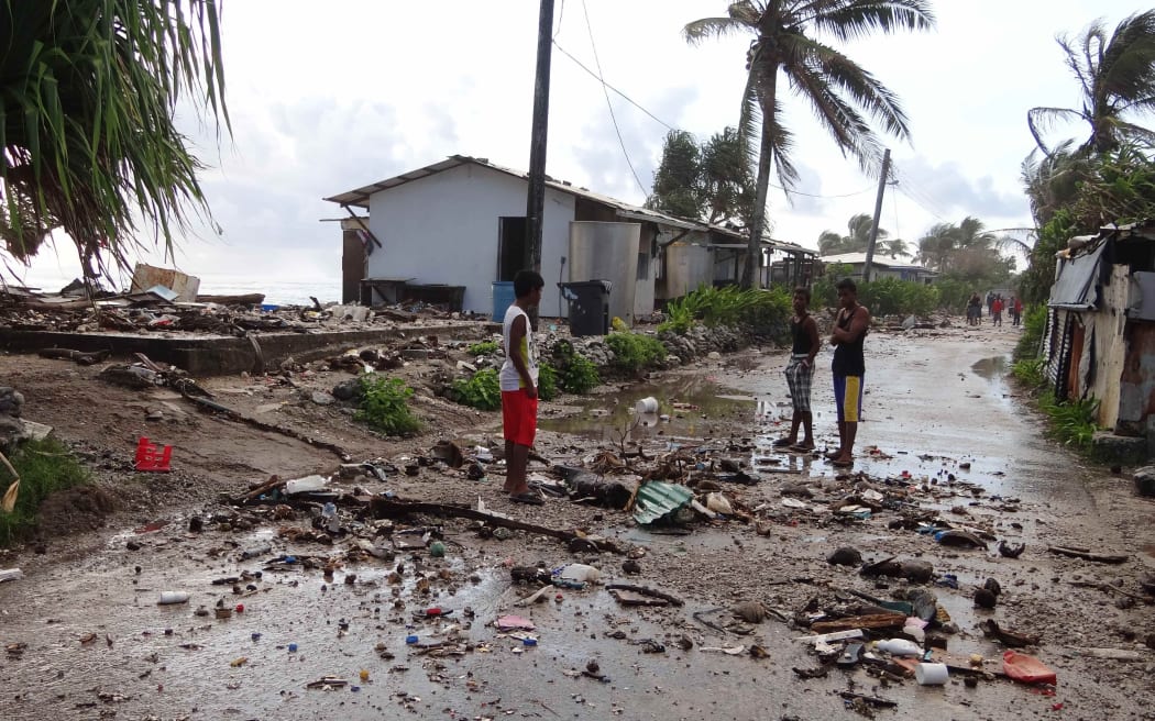
This 2014 photo shows the aftermath of a high tide storm surge in Majuro, the capital of the Marshall Islands. Photo: Marshall Islands Journal
It provides visual projections and adaptation options to assist the Marshalls in tackling rising sea levels and inundation over the next 100 years.
As COP26 begins in Glasgow, the new visualisations demonstrate the existential threat the Marshall Islands faces.
If existing sea level rise trends continue, the country will confront a series of increasingly costly adaptation choices to protect essential infrastructure.
World Bank senior municipal engineer and the leader of the study, Artessa Saldivar-Sali, said these visual models give insights that have not been available before.
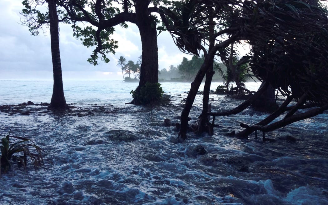
Flooding caused by huge spring tides which Marshall Islands officials have blamed on climate change. Photo: AFP
She said these will be critical for decision-makers to understand the potential benefits of adaptation options, such as sea walls, nature-based solutions and land raising.
Ms Saldivar-Sali said the modelling paints a clear picture of the need for significant investment in adaptation for, and by, atoll nations like Marshall Islands.

