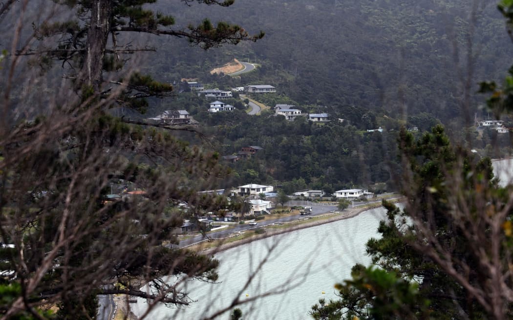
Ōkiwi Bay is a small settlement in the Marlborough Sounds, on the way to French Pass. Photo: Supplied / Stuff / Anthony Phelps
A 4.7km-long walking and cycling track will be built through native bush in a remote Marlborough Sounds township, despite a resident's concerns over privacy.
A decision made by a Marlborough District Council hearing panel and released last month granted the consent application, subject to 24 conditions.
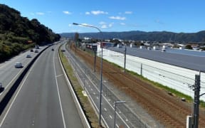
The proposed track would start at sea level from the Kaimiko Stream Bridge on Hope Drive at Ōkiwi Bay.
It would join Croisilles Rd at an altitude of 184m, as well as an eastern track that joined the same road at an altitude of 105m.
While most of the track would be between 1m and 1.5m, some parts could be as wide as 2.5m.
The decision said the route was set within the coastal landscape of Ōkiwi Bay, "flanked" by conservation land and characterised by steep vegetated slopes of predominantly indigenous vegetation.
The track concept was developed through collaboration between the Ōkiwi Bay Ratepayers Association and Ōkiwi Bay Ltd.
Two members of Ōkiwi Bay Ltd, one of whom was also a director, initially established the route by repeatedly walking over the site and digitally recording it.
A hearing took place on 6 September, chaired by district councillor Jamie Arbuckle.
The panel also comprised councillors Thelma Sowman and Allanah Burgess and was facilitated by Sue Bulfield-Johnston.
Prior to the hearing, a resource management report said the application lacked detail about the track route and its construction method, amongst other concerns.
The report recommended the preparation of an ecological report on areas assessed as having high ecological value and where there was evidence of older or undisturbed vegetation, which Okiwi Bay Ltd agreed to do.
It also recommended a geotechnical report be carried out on sections of the track sloping more than 35 degrees to understand the stability of the underlying ground.
Those reports stated the proposed development was "unlikely" to increase the risk of slope instability in the area, and construction should be achievable with minimal cutting and filling.
The panel members undertook a site visit in August but could not walk the entire proposed route.
They also entered the property of one of the submitters who opposed the proposal.
While that submitter supported the track in theory, he said he had concerns about effects on amenity values, loss of security and privacy, and the risk of erosion.
Six other submitters supported the proposal. Meanwhile, the Department of Conservation opposed it in part because the department had concerns about the protection of bat habitats.
The panel noted that only two people had walked the entire proposed route, which raised concerns including a lack of awareness of high-value indigenous vegetation species.
The decision said the panel needed to consider whether consent could be granted in circumstances where there was a gap in technical information.
As part of the consent, Ōkiwi Bay Ltd was to prioritise alternatives to the route that minimised the elimination of trees with a diameter exceeding 100mm at chest height.
In addition, it could not disturb any native tree with a diameter of 200mm at chest height.
In the upper area of the track, as defined in one of the reports, no native trees with a diameter greater than 100mm at chest height could be removed.
The construction was to be undertaken in five separate stages.
An ecologist was to carry out a site survey along the proposed route to identify and mark certain features that should not be disturbed.
They were also to establish the optimal route for the track that minimised the elimination of all other trees taller than 100mm.
A "geo-professional" engineer was to identify and record an optimal route for the track that avoided slopes of greater than 35 degrees, and provide advice to establish a route that minimised excavation and ground disturbance.
Where necessary, they were to supervise and inspect earthworks during construction.
If at any stage the works revealed adverse ground conditions such as water-saturated ground, work was to stop to enable more recommendations.
An erosion and sediment control plan was to be prepared before any work was started to ensure no silt-laden water was discharged into waterways or neighbouring properties.
It was intended for the land to remain in Marlborough District Council ownership, with a right to occupy agreement formed with a trust that had been set up to maintain the track.
Local Democracy Reporting is Public Interest Journalism funded through NZ On Air.