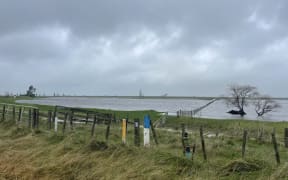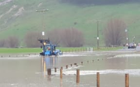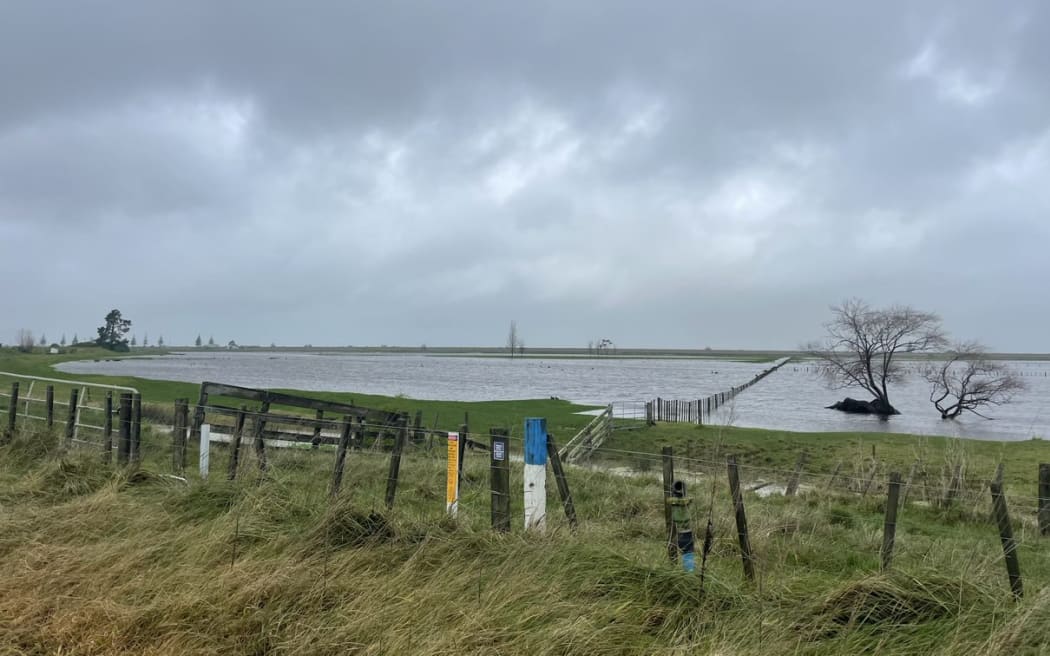
Surface flooding on Poverty Bay Flats. Photo: Gisborne District Council
The soil in Tai Rāwhiti was first labelled as resembling porridge - now it's more like melted ice cream, Gisborne District Council's principal scientist says.
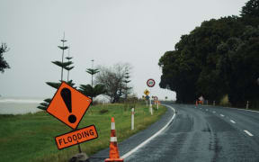
On Sunday, Tai Rāwhiti's state of emergency was lifted following a few days of heavy rain.
Locals were relieved the rain did not reach forecasted levels, but what did fall still wreaked "havoc" on a region that has had more than its average annual rainfall in less than six months.
The state of emergency was declared at 4.45pm on Thursday. Mayor Rehette Stoltz lifted it shortly after midday on Sunday.
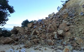
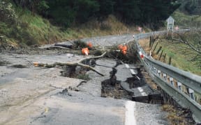
However, a big slip at Otoko Hill, near Te Karaka, has forced the closure of State Highway 2 to the north until at least Friday.
Gisborne Civil Defence said it was taking longer for supplies to make it into the region because some roads were still cut.
Civil Defence manager Ben Green said suppliers were instead having to take State Highway 5 between Napier and Taupō.
However, both it and State Highway 2 between Napier and Gisborne have speed restrictions and traffic management in place.
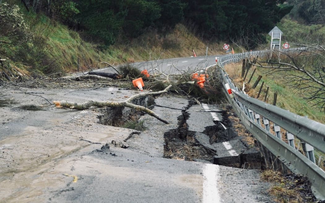
Slip site at Otoko Hill, northwest of Gisborne. Photo: Kate Green / RNZ
Gisborne District Council's principal scientist, Dr Murray Cave, said the soil resembling melted ice cream - and being "even sloppier than porridge" - was a result of the rain that had fallen for the past week.
The region was facing a situation where landslides would get worse over winter and it would not be until summer that land stability would come right again.
One it did become stable, mitigation - such as planting trees - would need to happen to prevent further damage, Cave said.
But mitigation in the city may not always be possible.
"In some instances we can have big retaining walls put in, but in other instances, its more likely to be the case that those properties no longer can be occupied."
Cave said making that call was a "really difficult" one and a "really difficult" conversation with property owners.
One house had so far been red-stickered following the heavy rainfall, and more were likely, he said.
Two homes in the suburb of Makorori in Gisborne have been evacuated today.
Civil Defence manager Ben Green told Midday Report houses in a couple of areas were physically moving, to the point where doors could not open or there were gaps in the structure.
Green said teams were out doing assessments and at least 20 properties were likely to be at risk.
In the Tai Rāwhiti township of Te Karaka, iwi are worried about the future of the area's land and infrastructure.
As river levels rose late last week, Te Aitanga a Māhaki evacuated about 200 people to emergency accommodation.
Everyone was now back in their homes but the area is sodden, with hillsides on the move, compromising land, homes, and roads.
Community response lead Pimia Wehi said it was fortunate that predicted rainfall of up to 350 millimetres did not eventuate.
The majority of homes had been spared but there was some damage to infrastructure and roads, Wehi said.
"We've seen slips come down that don't usually come down in wet weather. But as I say, the ground is absolutely saturated."
Wehi said having a safe evacuation centre on high ground for Te Karaka's people was a priority.
A new site had been set up at the weekend and was fully resourced by the iwi.
It was on standby should it be needed for another "situation", Wehi said.