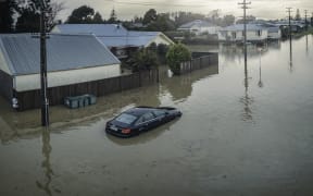
Tokomaru Bay, a predominantly Māori East Coast community, has been hit repeatedly by floods in recent years. File photo. Photo: ATS Engineering & Network Solutions/Supplied
Māori communities are worried the government's climate planning could override their own work and rangatiratanga.
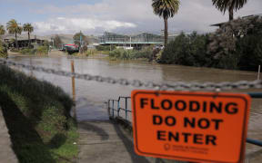
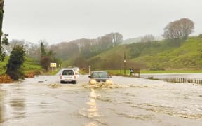
A government report has for the first time identified 44 communities at serious risk of flooding and unprepared for it. Ministers are considering how to help flood-risk communities and abandoning these areas altogether is on the table.
Many of them are predominantly Māori, and some leaders are furious at the lack of consultation.
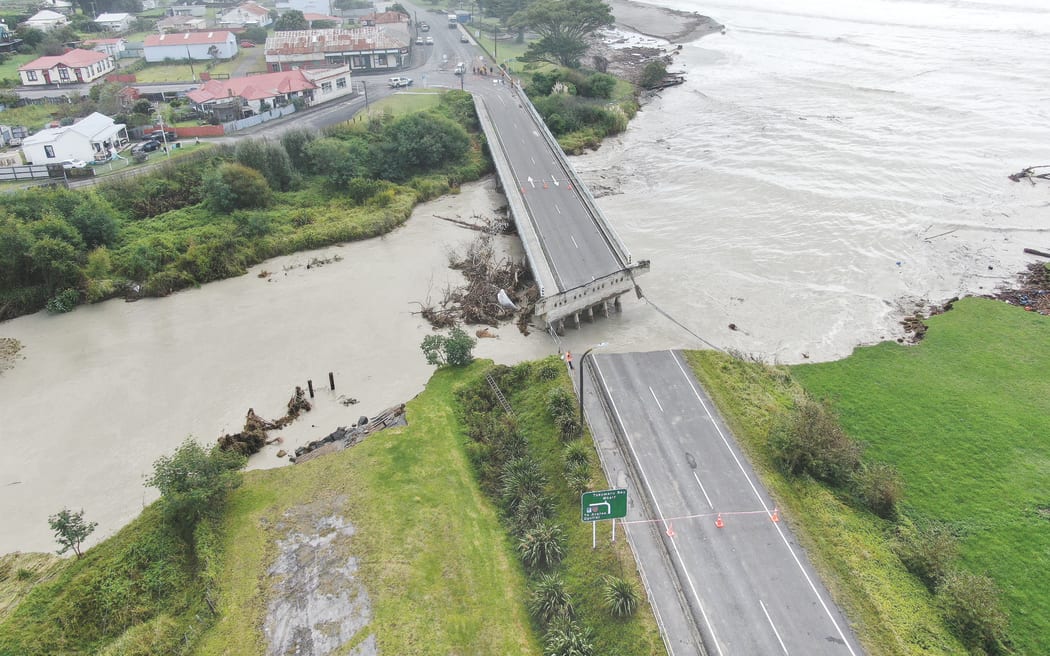
Tokomaru Bay on the East Coast is one of nine Tairāwhiti communities named as being at serious risk.
It has been hit again and again by floods in recent years.
Civil Defence coordinator Lillian Ward said they were well aware of their vulnerability but all she had seen was report after report with no one asking tangata whenua.
"Come and talk to us, come and be honest we'll work together but none of that has happened because apparently there isn't any commitment of funds through Gisborne District Council's long-term plan then we're more or less written off."
On the East Coast, aslike in many areas, hapū and marae had been coming up with adaptation plans but Ward was worried they would be overridden by the government.
As to the possibility of some communities having to move, she said that a tough ask for those who had little whenua left to re-establish on.
"There's been no discussion with any of our communities around planned retreat. My concern is in Tokomaru the government is allowing good farmland to be sold so if we're talking about retreat. Do they expect us to live as tree people on pine trees?"
After all, there was historical precedent.
Te Rūnanga o Te Rarawa chief executive Haami Piripi said when Kaitaia flooded the water drained on to Māori land.
In other parts of Northland, much of the flood protection was around Pākehā developments, not whenua Māori.
Communities had already been made forced to move: through war, confiscation, courts and the Public Works Act.
Piripi was worried that as climate change bit, the country could sleepwalk towards past mistakes.
"It already affects significantly our ability to utilise the land in that area. If this vulnerability continues we're going to lose more of our ability to utilise land and it's going to be detrimental to both our social and economic development."
Piripi said before officials started drawing up any plan they should talk to the people who knew the land.
"If it didn't involve our input it wouldn't be any damn good because we are the people who have lived there for over a thousand years, we know more about the place than anybody else and we're intergenerational occupants.
"Any planning authority that's not prepared to access or utilise that information, or that data, or that understanding and knowledge would be foolish."
He said moving a marae would cost millions, let alone the cultural cost.
The flood hazard report detailed how some of the poorest areas were also the most threatened and councils didn't have the money to afford protection works.
Horizons Regional Council climate action joint committee co-chair Huhana Smith said whole ecosystems needed to be restored.
"We're talking about returning the natural integrity to many places that were wetland, increasing them considerably, increasing wetland forestry, increasing coastal forestry and I'm not talking pine trees I'm talking natural integrity."
This latest report was only a risk assessment that would inform future plannning.
But already, Māori communities are warning the government to tread carefully.