
Photo: NIWA|image_alt_text=No caption
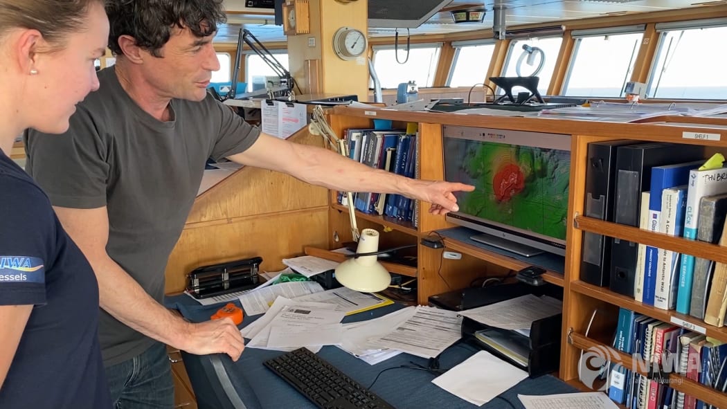
A NIWA research voyage hopes to better understand the effect gases emanating from the sea floor have on ocean acidification and climate change.
They're using acoustic imaging technology to distinguish between different gases and to map the sea bed close to Whakaari White Island.
They're comparing what it looked like before and after last December's fatal volcanic eruption that killed twenty-one people and injured twenty-six.
They're scanning for evidence of landslides, vents and further volcanic eruptions. Project leader Dr Joshu Mountjoy joins Lynn Freeman from the RV Tangaroa.

