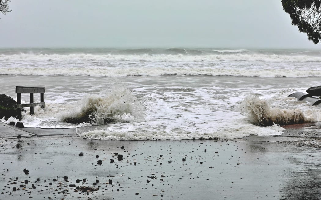
Sting jets, vorticity, the inverted barometer effect - Cyclone Gabrielle is a beast of a storm with some unique characteristics.

Photo: RNZ / Nick Monro
Cyclone Gabrielle and other recent severe weather events have turned many of us into armchair meteorologists, obsessively tracking the vibrantly coloured swirls of the storms looming over Aotearoa.
And with that, new weather words such as "inverted barometer" have popped into our lexicon.
"Tropical Cyclone Gabrielle has been quite a ride," says NIWA meteorologist Ben Noll, who explains to The Detail what the terms mean and why Gabrielle is so different.
"These are the types of events that really get the adrenalin going."
Noll says Gabrielle has a lot of interesting facets that make it unlike the average weather system: it's forecast to produce a month's worth of rain, damaging winds and massive storm surges.
From tropical cyclone to cyclone
Gabrielle started late last week as a tropical cyclone in the Coral Sea and intensified very quickly to a category 3, fuelled by very warm oceans. Concerns about the storm as it moved down to New Zealand have come to fruition says Noll.
As the cyclone moved out of the tropics and away from the energy source - oceans above 26.5 degrees Celsius - to cooler waters, its characteristics began to change and interact with other weather factors that exist in the mid-latitudes.
That's called extra tropical transition, the period of time when a tropical cyclone is changing to extra tropical or mid-latitude cyclone.
Noll describes it as a hybrid: a system that has still has some tropical characteristics, but is no less impactful.
It's producing low pressure levels not seen in a very long time or ever in some places, he says, and is akin to Tropical Cyclone Giselle, the storm that caused the Wahine disaster in 1968.
As the cyclone has slowed and tucked into New Zealand, it has begun to "interact with other weather features on the map" and the interplay between those other systems is unique.
"In the case of Gabrielle, we have a feature that's coming in from the Tasman Sea that is almost like fingers reaching out and grabbing the centre of circulation from the cyclone and bringing it back just a little bit closer than it otherwise would be," Noll says.
In addition, a high pressure system to the south-east of the country is acting like an atmospheric stop sign and preventing Gabrielle from quickly moving away.
The inverted barometer effect
This is associated with very deep low pressure systems. The winds around low pressure systems swirl in towards the centre.
"Where those winds meet, they rise up," says Noll.
"That causes the air to rise and can cause the sea to rise.
"So what you're seeing is a rising of the sea level because of the upward motion that is associated with these really deep lows."
On top of the higher sea level are very strong winds, which are the fuel for big waves and rough seas.
Noll says one silver lining this week is that the tides are at their lowest of the month, which means coastal areas such as the East Coast, Bay of Plenty and Coromandel may not be as badly hit as if it was a spring tide.
Vorticity
A familiar word to meteorologists, in this case it relates to the cyclone's interaction with the Tasman Sea.
"What we look for in the atmosphere are areas of spin, because when you have spin you can have stormy weather," says Noll.
Areas of spin, their intensity and where they travel are closely watched for their behaviour because they can amplify the impact of the storm.
"We can look at that spin that is associated with the tropical cyclone entity, and we can also look at other areas of spin that are occurring in say the Tasman Sea, and see how they interact with the cyclone spin."
On its own, the vorticity would not mean much, says Noll, but in this case it taps into the cyclone at just the right time and pulls it toward the north of the North Island, exacerbating the effects of the cyclone.
"It takes almost a perfect storm of factors to cause something as impactful as Gabrielle, it's not just any one thing."
Sting jet
A very intense area of wind in the lower part of the atmosphere that can form on the systems that are moving out of the tropics into the "extra tropics". Often referred to in the media as the sting in the tail, it wraps around on the back side of the cyclone.
This is one of the concerns this week for meteorologists, as the cyclone has moved toward the East Cape: intense winds will continue on the southern and western flank of the storm in the lower North Island and bring a second round of bad weather to Auckland.
The sting jet is likely to mean the storm will be prolonged instead of a short, sharp event.
Check out the full podcast episode for more about what makes Cyclone Gabrielle such a powerful storm event.
You can find out how to listen to and follow The Detail here.
You can also stay up-to-date by liking us on Facebook or following us on Twitter.

Photo:


